The original map was created on hex paper, borrowing the fact that many war games use a hex grid because it gives a more natural feel to the terrain than graph paper does. I don't recommend drawing a map by hand these days or even using a hex grid. Using a grid can be helpful to give you a scale, but a grid of equilateral triangles works better if you can deal with creating that grid.
Ultimately, you'll need longitude and latitude (latitude at least to determine weather) so that may be your best bet for a grid.
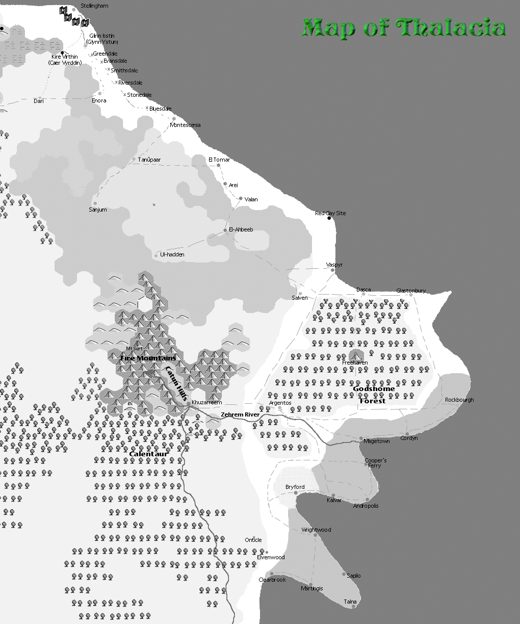
The scale of my first map was simple, each hex was a day's travel on horseback. Since horses can travel about twice as far as people on foot, it was easy to know if the characters were walking to double the distances.
Now you might ask, "Wait, you created a map before you had a plot? Isn't that put the horse behind the cart?"
Well, in one sense yes, but actually no. I had already sketched out much of the world's history so I had places and terrain in mind when I created the map. It was a natural next step for me.
The map reflected the information I had too; it was a composite of terrain, climate and political maps. This was partly because I was doing it by hand and partly because I never stopped to think about the different types of maps I could have created.
Since then, I've learned a lot about cartography and realize that elevation/terrain, climate/vegetation, political, and resource map should all be done. Using Photoshop (or an equivalent application) this is not that hard, just time-consuming. You just need to put each map its own layer.
That may seem like a lot of work and I would agree with that assessment. This is one reason I often look for ways to randomly generate such things, maps especially. And while you can purchase software to randomly create an entire world and provide much of terrain, elevation, climate, and vegetation information for you, there are dangers with it too.
For one, you'll need a way to export the maps into a standard graphic format like a JPG file so that you can place your cities and towns. I don't know any software that will do this. The software I use, Fractal Terrains, lets you export to Campaign Cartographer. That application does not permit exports to standard graphic formats, I don't believe.
Another pitfall is much of the information about terrain and vegetable is lost when you export. So that forces me to use Fractal Terrains to access this information. That can derail a really good writing session if I don't plan ahead because I waste time extracting the information I need about the world from the application that created it and lose my writing focus. For me, this is no good. When I'm in the zone and am writing well, I want to stay there as long as possible.
Consequently, what I've found it is often easier and faster to use a home-made map so I know all the details about a given location before I start writing. If you aren't sure what will work best for you, experiment. Try both approaches and see which one you prefer.
These days I have my maps in Photoshop and occasionally work on them. But since I'd rather be writing, I use my maps in the state they are in. They are not perfect but they do suffice.
My other piece of advice is built only what you need. Don't map that entire world if your stories all occur on an island in the great greasy Limpopo river. Just map out the island. You can expand from there later.
Happy mapping.
No comments:
Post a Comment